 05 - July - 2023
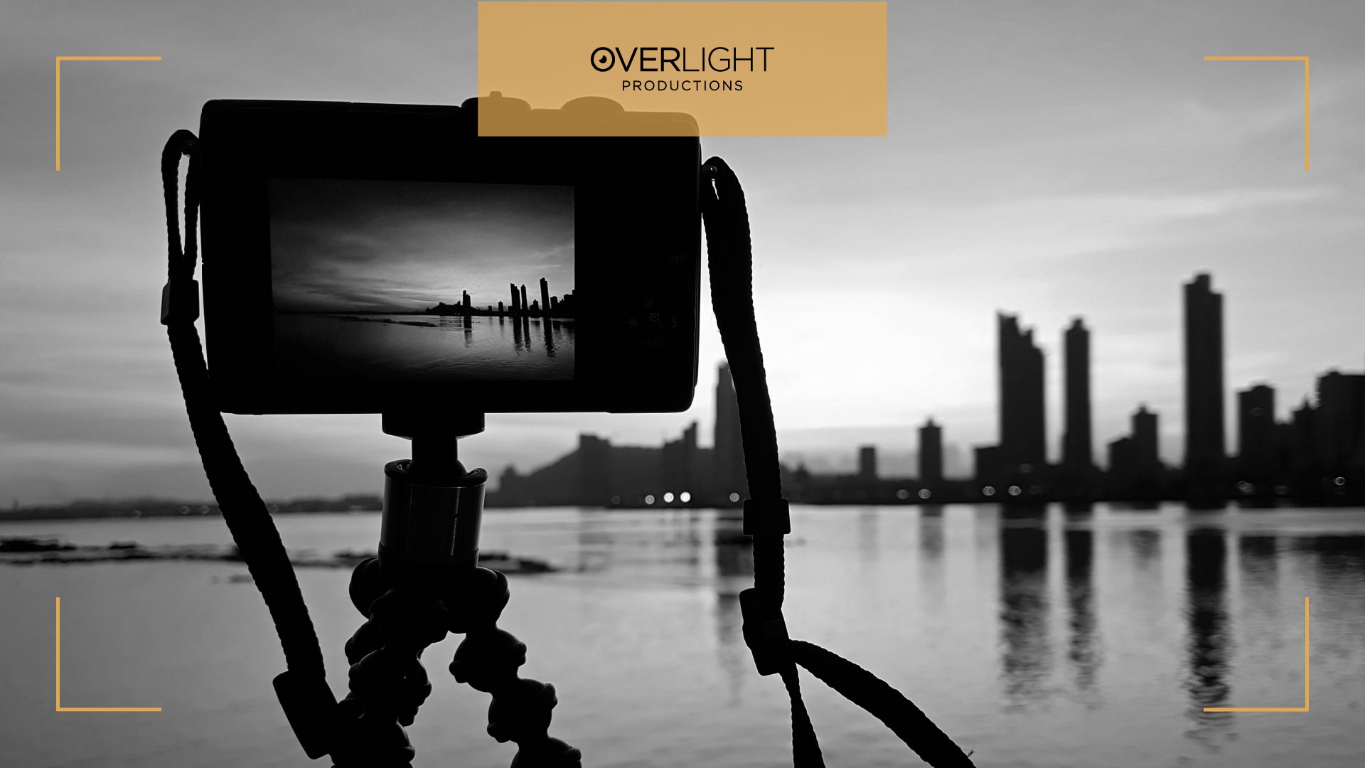
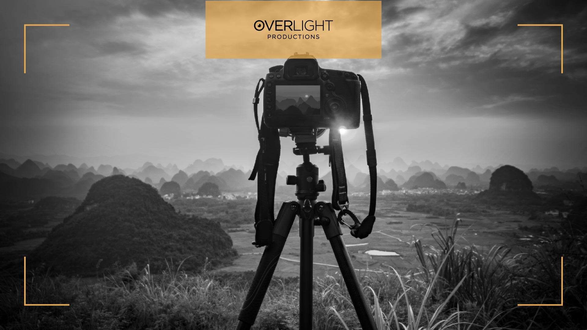
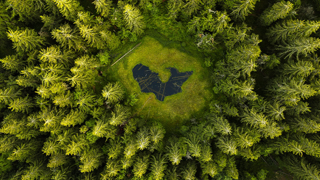
Aerial photography has revolutionized the way we view and understand the world around us. By capturing images from above, we gain a unique perspective that unveils stunning landscapes, urban environments, and hidden patterns that are otherwise invisible from the ground.
In this detailed guide, we will delve into the principles and applications of aerial photography, exploring its techniques, equipment, and the diverse range of fields where it finds valuable applications.
Let’s start with the basics…
The Basics of Aerial Photography
Aerial photography involves capturing photographs from an elevated position, usually using aircraft, drones, or satellites. It requires an understanding of various elements such as composition, lighting, and perspective, as well as the technical aspects of photography.
The principles of exposure, focal length, aperture, and shutter speed still apply, but with specific considerations for the unique challenges and opportunities presented by aerial perspectives.
Due to the about 55% to 70% front overlap between two consecutive aerial photographs, it is feasible to create a three-dimensional stereographic image of the terrain.
Read also: Why Do We Need Drone Photography
Oblique Photographs
As they are frequently taken manually, the angle of these photographs, which is normally 45 degrees, can be adjusted to provide the greatest possible views of the feature or scene.
In archaeology, the oblique photo is typically employed to provide depth and a broader context for a feature and the surrounding region. Its application is fairly restricted and frequently used for a specific purpose. It is almost typically taken in small quantities and at an elevation much lower than the vertical image.
Vertical Photographs
The more popular type of aerial photo is one that is taken straight down over a landscape. Because it is a plan-view, the image is not distorted by perspective. A workaround is to construct a 3D image utilizing stereoscopic views, employing a device to look at two things at once, in order to create a 3D image.
This also implies that it is challenging to interpret the topography, such as variations in height. This typically provides a reliable impression of the variance in land elevation. They are taken at consistent heights to make it simpler to compare landscape backgrounds captured on the same day or decades apart to study development.
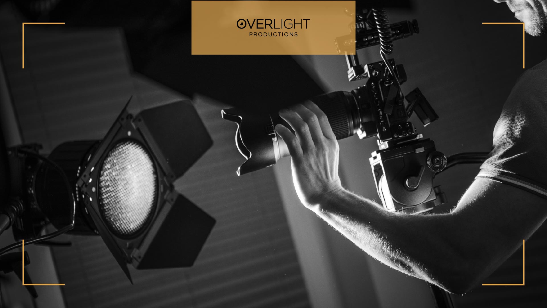
Equipment and Technology Needed for Aerial Photography
To capture compelling aerial photographs, different types of equipment and technology are utilized. Traditional aerial photography relies on manned aircraft with specialized cameras or gyro-stabilized mounts.
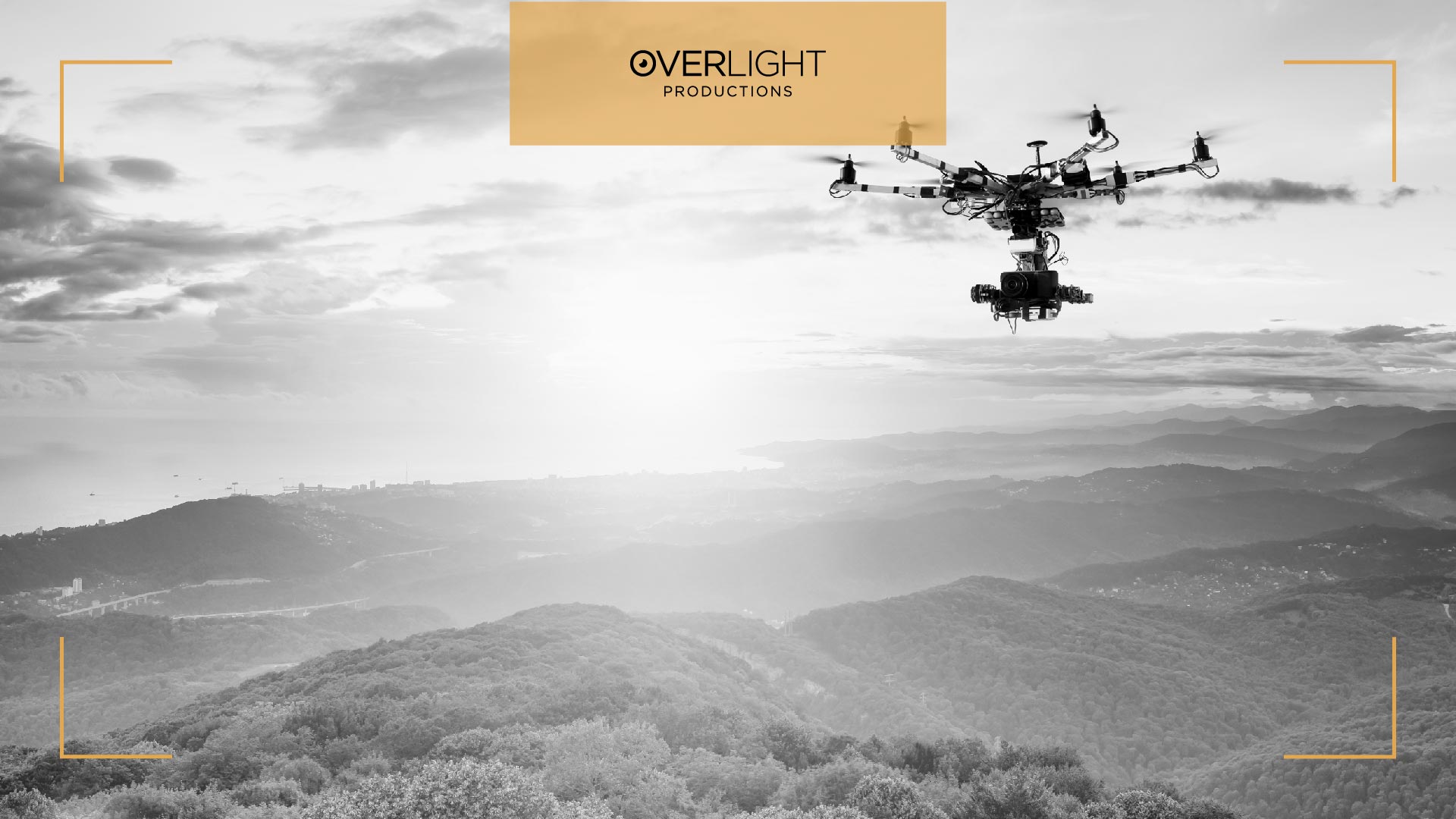
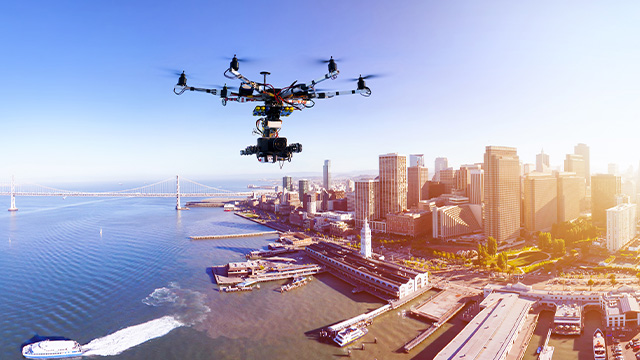
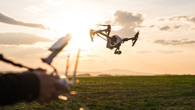
However, the advent of unmanned aerial vehicles (UAVs), commonly known as drones, has made aerial photography more accessible and cost-effective.
Drones equipped with high-resolution cameras and gimbal stabilization systems have become increasingly popular for capturing stunning aerial imagery.
What’s the Principles Behind Aerial Photography?
Aerial photography is governed by several principles that guide the process of capturing images from above. These principles help photographers achieve compelling and visually stunning results.
Perspective Plays
Firstly, the principle of perspective plays a significant role. Aerial photography offers a unique vantage point, allowing photographers to capture scenes from an elevated position. This perspective can reveal patterns, shapes, and relationships that are not readily apparent from the ground.
Composition
Aerial photographers must consider the arrangement of elements within the frame to create visually appealing and balanced images. They utilize techniques such as leading lines, symmetry, and framing to guide the viewer's eye and create a sense of depth and dimension.
Lighting
Lighting is another critical factor. The quality and direction of light greatly impact the final image. Photographers need to consider the time of day, weather conditions, and the angle of the sun to achieve the desired lighting effects.
Related: 12 Types of Lighting in Photography (What the Professionals Prefer?
Storytelling
Aerial photography can be a powerful storytelling tool, allowing photographers to convey a sense of place, scale, and context. By carefully selecting subjects, capturing decisive moments, and combining aerial and ground-level perspectives, photographers can create narratives that evoke emotion and engage viewers.
Applications of Aerial Photography
Aerial photography finds a wide range of applications across various fields:
Environmental Assessment and Conservation
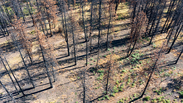
Aerial imagery aids in monitoring land use, ecosystem health, and identifying areas for conservation efforts. It helps track changes in forests, wetlands, and other natural habitats, enabling effective conservation planning and resource management.
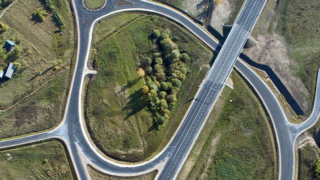
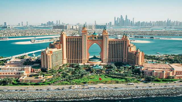
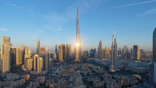
Urban Planning and Real Estate
Aerial photos offer in-depth viewpoints of cities and metropolitan regions, assisting in infrastructure construction, real estate appraisals, and urban planning.
Aerial photography is used by architects, city planners, and developers to evaluate city layouts, locate potential sites, and come to wise conclusions.
Archaeology and Cultural Heritage Preservation
Aerial photography aids archaeologists in locating and mapping archaeological sites, prehistoric ruins, and historic buildings that may be difficult to see from the ground or obscured. It aids in the conservation, interpretation, and documentation of cultural heritage.
Agriculture and Crop Monitoring
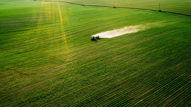
Aerial photography offers useful information for crop monitoring and precision agriculture.
It helps with crop health assessment, insect infestation detection, and fertilizer and irrigation application optimization, which improves crop output and has a smaller negative environmental impact.
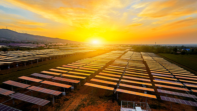
Mapping, Surveying, and GIS
Aerial photography plays a vital role in cartography, surveys, and geographic information systems (GIS).
It makes it possible to produce precise maps, three-dimensional terrain models, and geographical data that aid in city planning, infrastructure development, and disaster management.
Legal and Ethical Considerations when it comes to Aerial Photography
Understanding and abiding by legal and ethical requirements is essential when taking aerial photographs.
These can include getting permission or a license, following aviation laws, respecting people's right to privacy, and making sure everyone and everything is safe.
To execute photography operations ethically and legally, it is crucial to get familiar with the regional rules and regulations governing aerial photography.
FAQs
What are the key factors to consider when selecting a drone for aerial photography?
Image quality (camera resolution and stability), flying time, range, and mobility are important considerations when choosing a drone for aerial photography. Additionally, attributes like GPS capabilities, accessory compatibility, and obstacle avoidance should be assessed.
How can I ensure legal compliance and obtain necessary permits for aerial photography?
Learn about local laws and aviation authorities to ensure legal compliance and secure required licenses for aerial photography. Do your homework on the particular criteria, including registration, pilot qualifications, and airspace limitations. To receive the necessary permits, get in touch with the relevant authorities and complete the application procedure.
Are there any specific safety guidelines or precautions I should follow while conducting aerial photography?
Aerial photography places a high priority on safety. Always abide by the rules and regulations of your community. Keep the drone in your line of sight, stay away from prohibited areas and airports, and be aware of the weather when flying. Perform pre-flight tests, keep an eye on the battery's charge, and think about using a spotter to help with flight operations.
What are some techniques for capturing stunning aerial photographs during different times of the day?
When taking beautiful aerial photos at various times of the day, take the lighting into account. While midday creates a stark contrast, the early morning and late evening hours frequently bring gentle, pleasant light. Try out various perspectives and image arrangements to produce aesthetically appealing pictures that highlight the distinctive perspective from above.
Are there any specialized lenses or filters recommended for aerial photography?
Wide-angle lenses are frequently employed in aerial photography to capture a larger field of view and highlight the immensity of the environment. Neutral density (ND) filters can aid in glare reduction and exposure adjustment. Polarizing filters can reduce reflections from glass or water while increasing color saturation.
What software or tools are commonly used for post-processing and editing aerial photographs?
Popular programs like Adobe Photoshop and Lightroom can be used for post-processing and modifying aerial photos. Adjustments can be made to exposure, colors, and sharpness using these tools. Additionally, tools for flight planning, waypoint navigation, and automatic image stitching are offered by dedicated drone photography software like DJI GO and Litchi.
How can I effectively use aerial photography to tell a compelling visual story?
Concentrate on obtaining many views and unusual angles while using aerial photography to create a fascinating visual narrative. Use compositional strategies including leading lines, symmetry, and framing, as well as intelligent shot planning, topic context, and framing. For a dynamic story that conveys a sense of place, combine overhead video with ground-level pictures.
Where can I find resources and communities to learn more about advanced aerial photography techniques and applications?
Consult online forums, communities, and resources to learn more about advanced aerial photography methods and uses. Tutorials, advice, and debates about drones and aerial photography can be found on websites like YouTube, photography blogs, and social media groups. You can also stay tuned to our latest blogs for information about aerial photography. Engage with like-minded individuals and industry experts to share expertise and stay current on the newest trends.
Summing It Up
With aerial photography, there are more opportunities than ever before to take breath-taking pictures and discover the world from unusual angles.
Aerial photography is growing in popularity and influence across numerous industries thanks to technological improvements and the availability of drones. Photographers can release their creativity and make contributions to areas like environmental assessment, urban planning, archaeology, agriculture, and mapping by comprehending the ideas, using the right tools, and investigating the various applications.
To preserve everyone's safety and privacy, it is crucial to handle aerial photography responsibly while abiding by moral and legal obligations.
Looking to take beautiful aerial pictures? Never accept anything less than the very best. Contact a company offering experienced drone photography services that specialize in aerial photography. Contact Overlight Productions right away for unmatched quality and amazing results. Let us help you realize your vision.